General tags:
▪ Software:
Version 1.0
▪ Light Source:
Unknown
▪ Metering Mode:
Multi-segment
▪ Model:
uT8000,ST8000
▪ Exif Version:
2.21
▪ Exposure Mode:
Auto exposure
▪ ISO Speed Ratings:
100
▪ User Comment:
▪ X Resolution:
72 dots per inch
▪ F-Number:
F4.3
▪ Color Space:
sRGB
▪ Sharpness:
None
▪ Components Configuration:
YCbCr
▪ YCbCr Positioning:
Datum point
▪ Saturation:
None
▪ Focal Length 35:
1mm
▪ Max Aperture Value:
F3.5
▪ Exif Image Height:
1920 pixels
▪ Thumbnail Offset:
10100 bytes
▪ Focal Length:
7.57 mm
▪ Thumbnail Length:
3477 bytes
▪ Thumbnail Data:
[3477 bytes of thumbnail data]
▪ Exposure Bias Value:
0 EV
▪ Make:
OLYMPUS IMAGING CORP.
▪ Date/Time Original:
2010:04:14 18:08:37
▪ Exif Image Width:
2560 pixels
▪ Scene Capture Type:
Landscape
▪ Flash:
Flash did not fire, auto
▪ Date/Time Digitized:
2010:04:14 18:08:37
▪ Contrast:
None
▪ Resolution Unit:
Inch
▪ White Balance:
Auto white balance
▪ Orientation:
Top, left side (Horizontal / normal)
▪ Image Description:
OLYMPUS DIGITAL CAMERA
▪ Exposure Time:
0.1 sec
▪ FlashPix Version:
1.00
▪ Compression:
JPEG (old-style)
▪ Date/Time:
2010:04:14 18:08:37
▪ Custom Rendered:
Normal process
▪ Digital Zoom Ratio:
1
▪ Exposure Program:
Program creative (slow program)
▪ File Source:
Digital Still Camera (DSC)
▪ Gain Control:
Low gain up
▪ Y Resolution:
72 dots per inch
IPTC tags:
▪ Iptc.Writer/Editor:
Patrick Brown
▪ Iptc.Country/Primary Location:
USA
▪ Iptc.By-line:
Patrick Brown
▪ Iptc.Caption/Abstract:
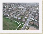
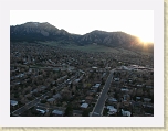
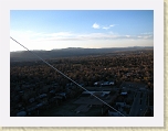
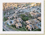
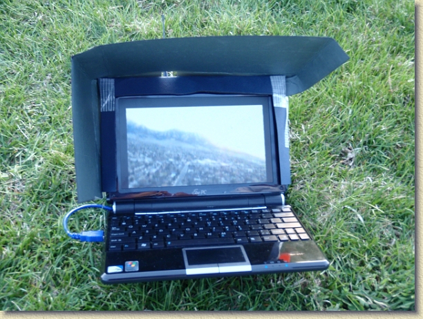
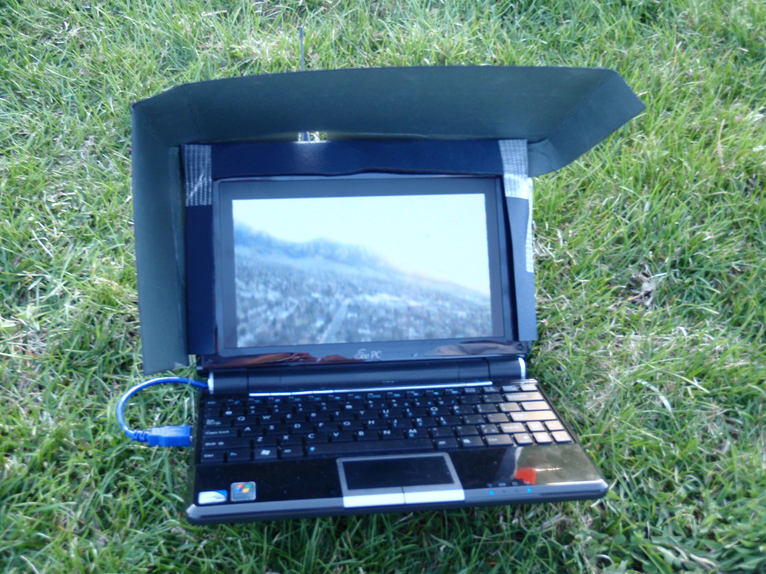
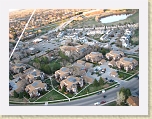
Laptop view of the Flatirons from the balloon
▪ Iptc.City:
Boulder
▪ Iptc.Object Name:
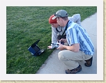
First Tethered Balloon Flight with Remote Gimbaled Camera System
▪ Iptc.Directory Version:
2
▪ Iptc.Copyright Notice:
© Patrick Brown 2010
▪ Iptc.Province/State:
CO
▪ Iptc.Date Created:
Wed Apr 14 00:00:00 MDT 2010
▪ Iptc.Time Created:
180837-0600
JPEG tags:
▪ Jpeg.Component 1:
Y component: Quantization table 0, Sampling factors 1 horiz/2 vert
▪ Jpeg.Component 2:
Cb component: Quantization table 1, Sampling factors 1 horiz/1 vert
▪ Jpeg.Component 3:
Cr component: Quantization table 1, Sampling factors 1 horiz/1 vert
▪ Jpeg.Image Width:
2560 pixels
▪ Jpeg.Number of Components:
3
▪ Jpeg.Image Height:
1920 pixels
▪ Jpeg.Data Precision:
8 bits
TetheredBalloon
»
Viewing
TetheredBalloon 019
[Image 22 of 43]
::
Jump To
- Page 1
- Page 2
- Page 3
Comment:
Laptop view of the Flatirons from the balloon
First Tethered Balloon Flight with Remote Gimbaled Camera System
Boulder - CO - USA
4/14/10 6:08 PM
TetheredBalloon 019.jpg - 2560 x 1920 - (1.15MB) - © Patrick Brown 2010
Patrick Brown - OLYMPUS IMAGING CORP. - uT8000,ST8000
Album last updated on 4/21/10 11:18 PM
Powered by
Jalbum 8.3
and
BluPlusPlus
skin